About Us
Scan to Plan is a specialist architectural service offered by Christchurch architectural company Space and Light Limited. Our director, Justin has 30 years of architectural experience.
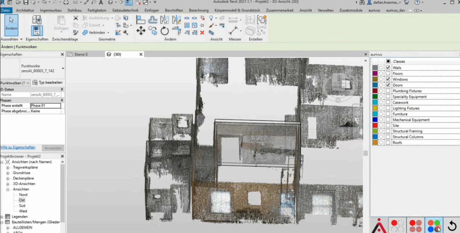
We have one goal: helping New Zealand companies focus on design, not data conversion. We specialise in transforming point cloud surveys into accurate Autodek Revit or ArchiCAD BIM models, giving you the digital foundation to move confidently from survey to design.
Why Choose Scan To Plan?
- Revit Specialists – Experienced team focused exclusively on Revit BIM models
- New Zealand Experts – Deep knowledge of New Zealand Building Code and construction methods
- Fast Delivery – Most projects completed within 1-3 weeks
- Quality Assured – Multi-stage review process ensures accuracy
- Seamless Integration – Works with your existing Revit templates and standards
- Nationwide Service – Covering both North and South Islands
- All Project Types – Heritage, commercial, residential, and industrial buildings
What Makes Us Different
Revit-First Approach
- We don’t just convert data – we create intelligent Autodek Revit or ArchiCAD models that work with your design process. Our team understands both point clouds and Revit inside-out.
Local Knowledge
- As an established New Zealand architectural company, we build models that reflect NZ construction methods, materials, and building standards.
Flexible Detail Levels
- From early design models (LOD 200) to construction documentation (LOD 350), we deliver the right level of detail for your project stage and budget.
Quality Control
- Every model is checked by senior technicians and reviewed for accuracy, ensuring error-free deliverables that save you time and rework.
Your Standards, Your Templates
- We adapt to your existing Autodek Revit or ArchiCAD setup from day one, maintaining consistency across your practice.
Complete Support
- Unlimited revisions, model training, and ongoing support until you’re completely satisfied.
Ready to get started?
Who are we?
Experienced BIM specialists and Registered Architects specialising in point cloud to Revit model conversions.
We have worked with some of the largest and most successful architectural firms, property owners, commercial property investment and management companies across New Zealand.
Christchurch based, but with nationwide experience mainly in Christchurch, Dunedin, Wellington, Auckland and Tauranga.
We are fast, thorough and economical.
Our passion is transforming complex LiDAR survey data into intelligent, workable Revit models that architects actually want to use. Whether it’s a heritage villa in Ponsonby or a commercial complex in Christchurch’s rebuild zone, we love the precision and possibilities that point cloud technology brings to New Zealand architecture.